


Hala Skrzyczeńska - Szczyrk Biały Krzyż
Your mountain adventure in Szczyrk
Distance: 7,6 km
Hiking time: 2:30 h
Suma podejść: 169 m
Climbing: 446 m
Start: Hala Skrzyczeńska - 1000 m n.p.m.
End: Szczyrk Biały Krzyż - 940 m n.p.m.
Other options:
Zbójnicka Kopa 1205 m n.p.m. - Biały Krzyż [7 km | 2 h]
Hala Skrzyczeńska - Biały Krzyż - Solisko [10,4 km | 3:15 h]
Szczyrk Gondola - Biały Krzyż [9,7 km | 3:45 h]
Szczyrk Gondola - Biały Krzyż - Solisko [12,5 km | 4:30 h]
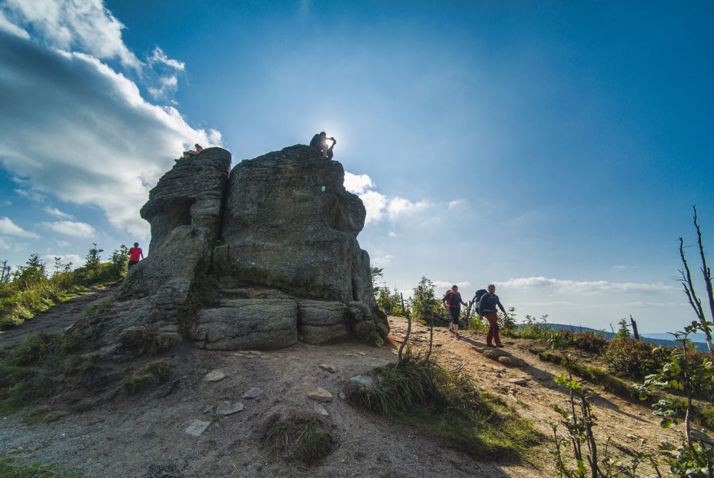
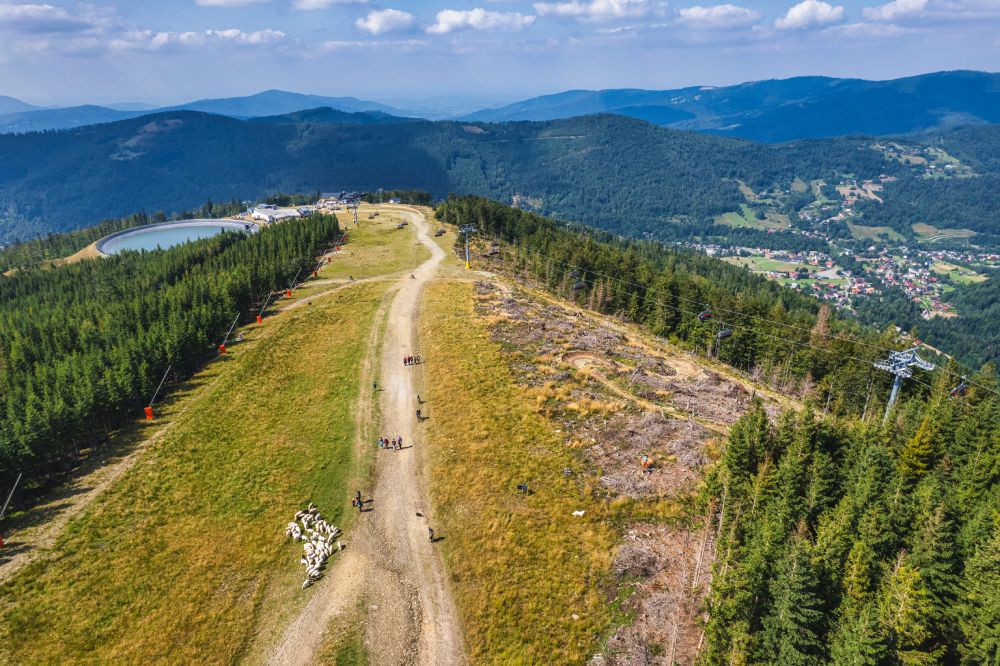
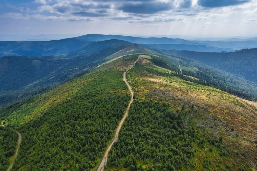
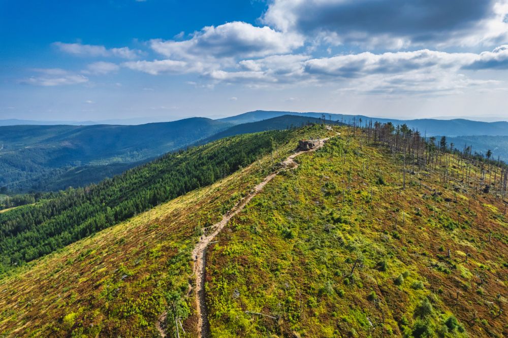
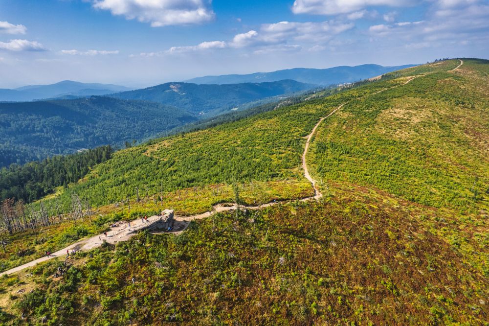
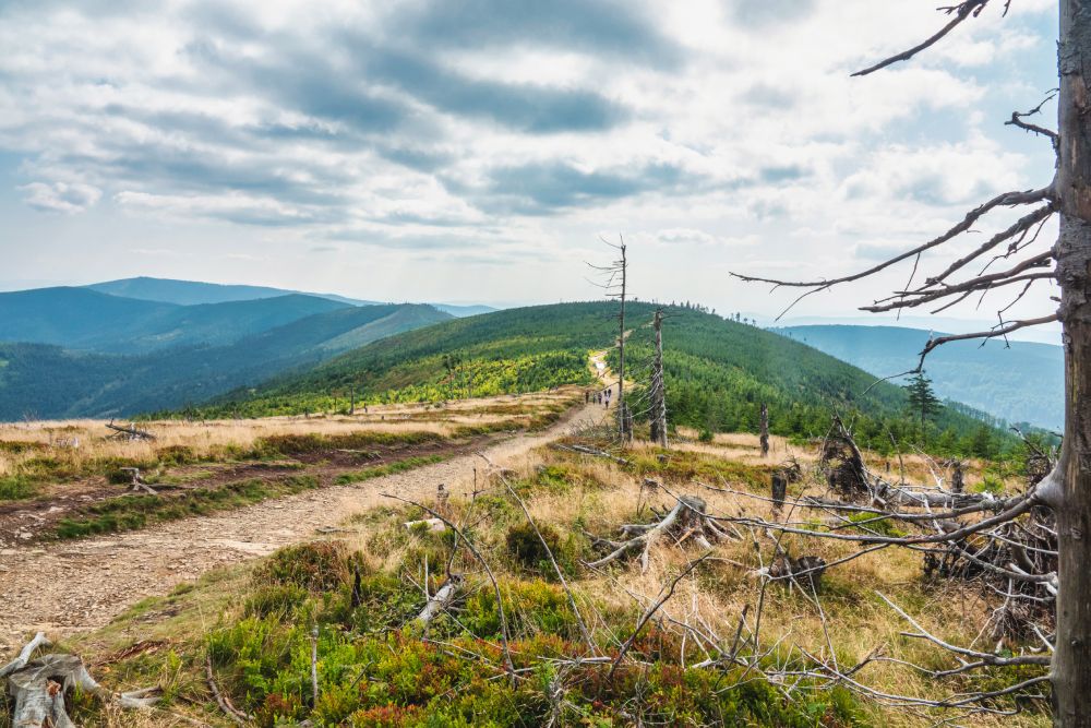
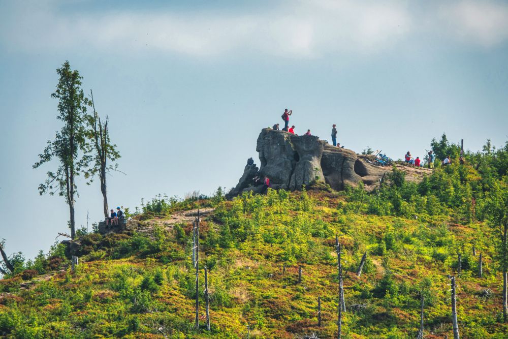
Your journey to the ski complex called Biały Krzyż (translated: White Cross) can start in many different ways. It would be wise to leave your car on the free car park under the gondola lift and then take the yellow trail towards the Little Skrzyczne (Małe Skrzyczne) 1211 m a.s.l. (hiking time: 1:55 h). But remember, this variant is intended for the more advanced hikers, because it’s a pretty steep vertical climb of as many as 621 metres on the distance of 3.5 km. The second option – intermediate level – includes a gondola ride to the Skrzyczeńska Pasture (Hala Skrzyczeńska) 1000 m a.s.l. (with the nice and tasty Kuflonka Restaurant) and a much easier climb to the top of the Little Skrzyczne (Małe Skrzyczne). This option seems to be most optimal. The third, and thereby the least advanced option, includes the gondola and chairlift ride towards the Robber’s Mountain (Zbójnicka Kopa) 1205 m a.s.l. and proceeding along the green trail towards the Little Skrzyczne (Małe Skrzyczne) 1152 m a.s.l.. Beyond all doubt, it is the most picturesque trail in all of the Silesian Beskids (Beskid Śląski). The panoramas stretching around you literally take your breath away. Such peaks as Czantoria, Old Wives’ Mountain (Babia Góra) or the ragged and beautiful Veľký Rozsutec Mountain in the Slovakian part of the Beskids are definitely worth a glimpse or two. This part of the journey is not very demanding since the trail is pretty flat. Past the Malinowska Rock (Malinowska Skała), the trail turns red and from now on, it mostly goes down. On your way there, you’ll have to take one climb to the top of the Malinów Mountain, at whose foot there starts a path to the left (you’ll come across an information board). Right there, you’ll find a cave which is available for sightseeing. In order to reach it, you need to go down the ladder. Remember to take some penlights with you. Having come back to the green trail, go towards the spruces. The trail ends at 940 m a.s.l., at the White Cross Resort (Biały Krzyż Resort). The map shows you the longest option.
Hint: Go back to the car park by bus (PKS Bielsko-Biała) from the White Cross Resort (Biały Krzyż) under the gondola lift. Remember that in the afternoon, there is only one bus at 5:00 pm. You can also take the yellow trail down to Solisko (42 min, 2.8 km), there are more buses available.
Bus timetable – find the bus stop: Szczyrk, Salmopol (Solisko)